


 WXAutoMaps - Free Weather Map Software
WXAutoMaps is a free Windows program that downloads the latest free forecast from ECMWF (the European Centre for Medium-Range Weather Forecasts), draws weather maps from it and can upload them to your website automatically. It is the program that makes the forecast maps on our Weather Maps page.
What is it for?
It is written for weather enthusiasts and people who run their own weather station website, and who would like up-to-date forecast maps for their own area without subscribing to a data service or doing it all by hand. Once it is set up, it can run on its own: fetch each new forecast, draw the maps and put them on your site.
What can it do?
- Free forecast data: it uses ECMWF's free open data, and the forecast covers the whole globe, not just Europe, so you can make maps for wherever you are.
- You make the maps: there is a choice of four different maps to use.
- Animated or single frames: it saves the maps as animated GIF files, or as individual PNG files that can be animated on a web page with the HAniS script, with play, pause and step controls (as on our map pages).
- Automatic upload: it can upload all the image and text files to your website for you.
- Fixed file names: each map keeps the same file name every run, so your web pages always show the newest forecast.
- Credits included: the ECMWF data credit is added to every map.
- Free and open source: released under the MIT licence.
Example maps
These are live maps made by WXAutoMaps for this site, so they show the latest forecast run. Click a map to see it animated through the forecast.
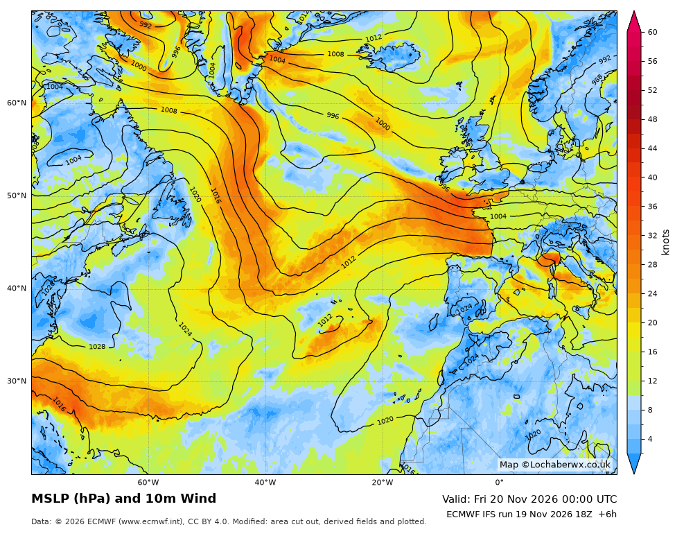
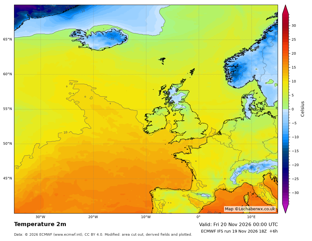
Our Weather Maps page has many more, including wind, gusts, rain, snow, cloud, thunderstorm ingredients and sea conditions.
Download
Version 1.0.0, released 15 November 2026. Download WXAutoMaps-Setup-1.0.zip (131 MB) from the GitHub release page.
Requirements: WXAutoMaps has been tested on Windows 10 Home and Windows 11 Home. It needs an internet connection to download the forecast, and FTP details for your web space if you want it to upload the maps.
Windows warning: the program isn't digitally signed, so Windows may show a blue "Windows protected your PC" screen. If you downloaded it from the GitHub page above, click More info, then Run anyway.
Questions and feedback
If you try WXAutoMaps, we would love to hear how you get on. Problems and suggestions can be posted on the GitHub issues page, or use our contact form.
Maps are based on data and products of the European Centre for Medium-Range Weather Forecasts (ECMWF). © ECMWF, CC BY 4.0 data licence. ECMWF does not accept any liability whatsoever for any error or omission in the data, their availability, or for any loss or damage arising from their use. Forecast maps are computer forecasts and can be wrong; do not rely on them for safety. WXAutoMaps is © 2026 Martin Collins (Lochaber Weather), released under the MIT licence.